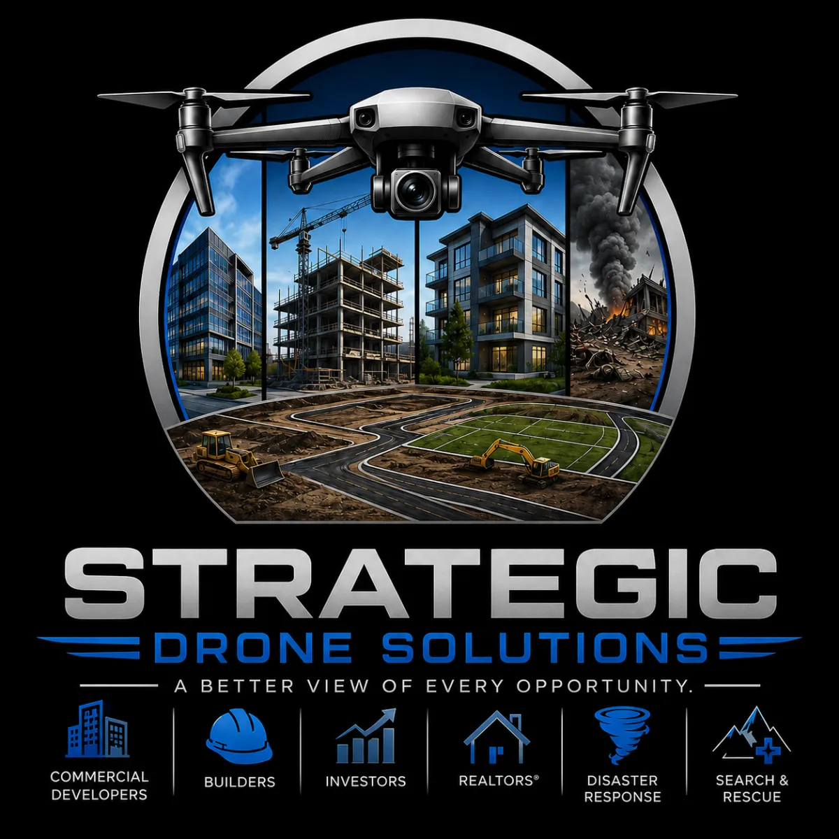
Actionable Intelligence From Above
Drone-Powered Intelligence for Developers, Builders, Investors, Lenders, and Emergency Response Organizations
Strategic Drone Solutions delivers actionable aerial intelligence that helps clients monitor construction progress, evaluate development opportunities, assess property conditions, document disaster damage, improve site security, and make faster, more informed decisions.
From construction oversig.
Why Strategic Drone Solutions?
We don't just deliver photos.
We provide actionable intelligence that helps clients:
Reduce project risk
Monitor construction progress
Support lending and draw inspections
Document disaster damage
Evaluate development opportunities
Improve operational visibility
Make confident decisions faster
When critical decisions depend on
When critical decisions depend on accurate information, Strategic Drone Solutions delivers the perspective you can't get from the ground.
Powered By ULDG
Our Services
"We don't just capture aerial images—we deliver actionable intelligence."
Strategic Drone Solutions combines advanced drone technology with professional analysis to provide construction oversight, property assessments, mapping, disaster documentation, security monitoring, and site intelligence that helps clients make faster, smarter decisions.
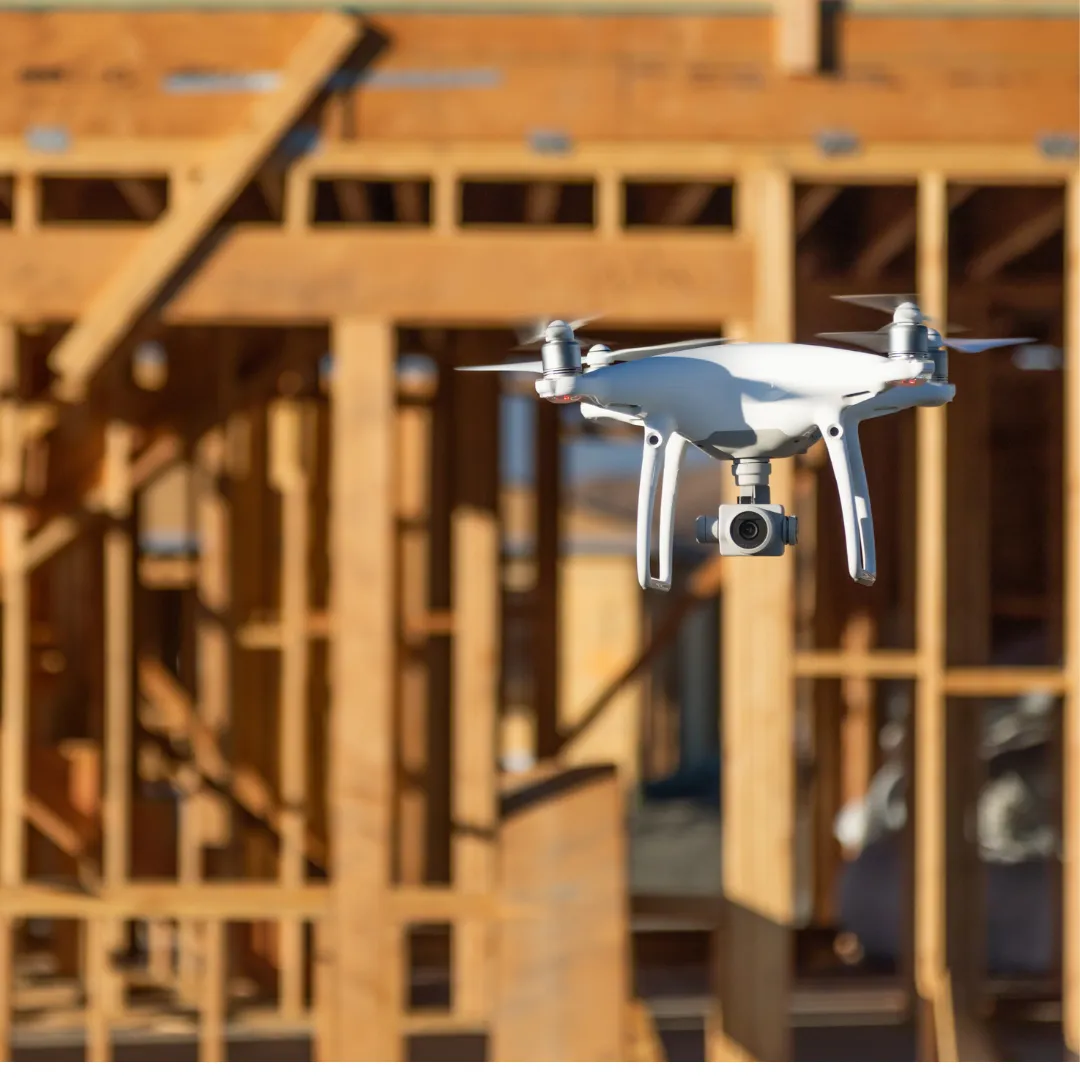
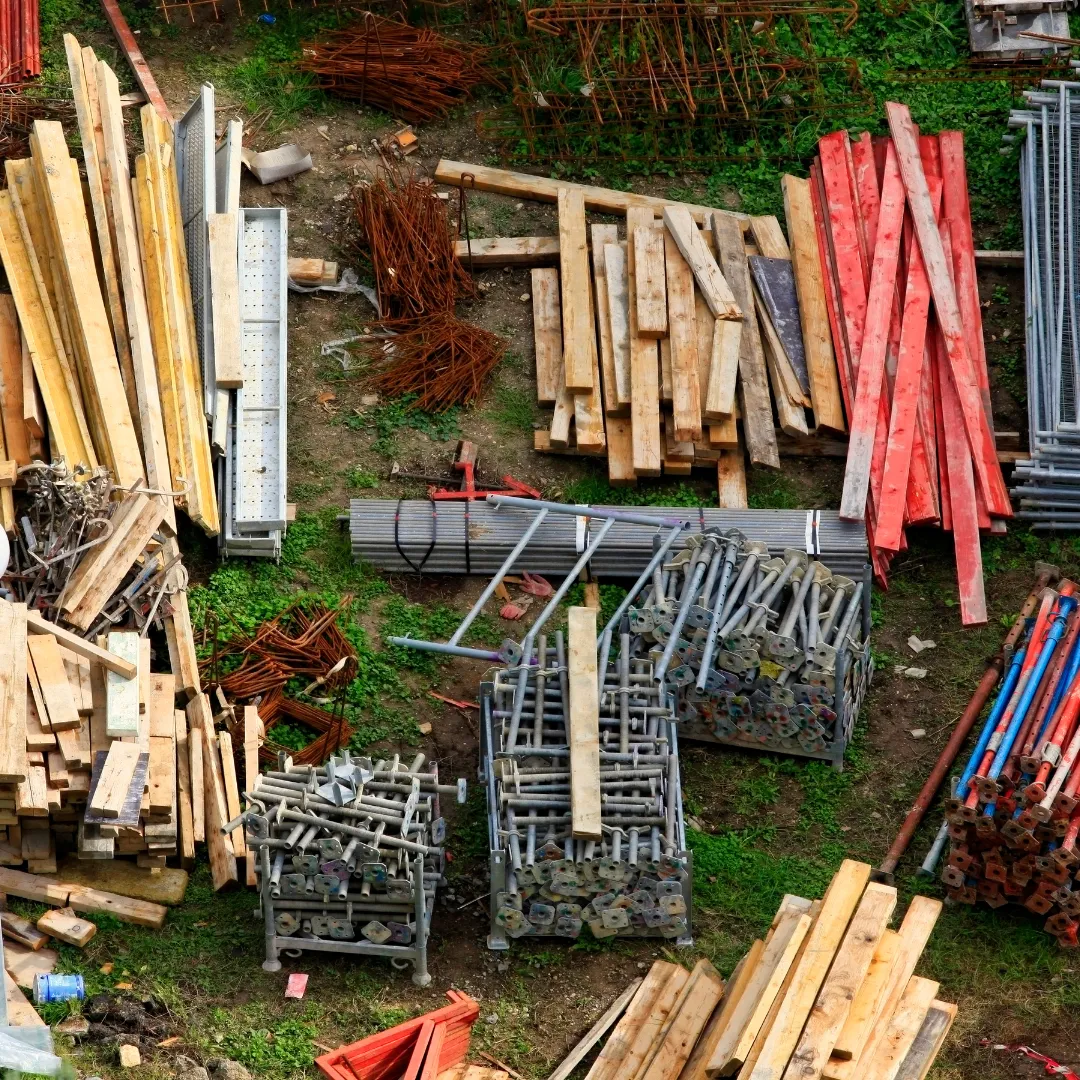
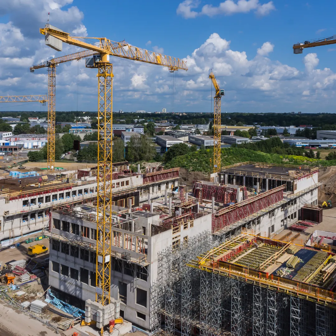
Construction Monitoring & Progress Reporting
Track project progress, document milestones, verify contractor performance, and provide stakeholders with accurate aerial updates throughout the construction lifecycle.
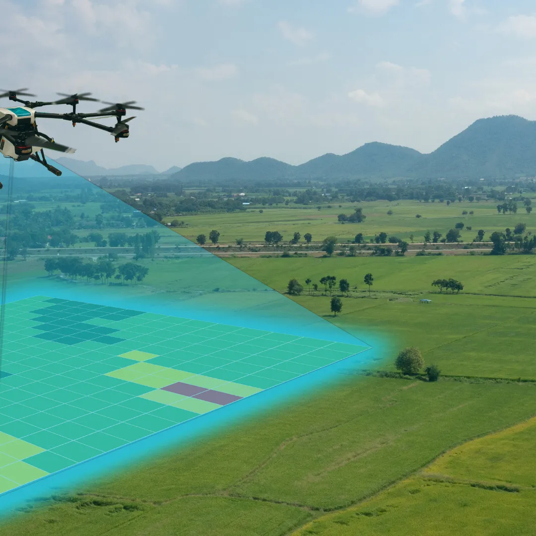
Drone Mapping & Orthomosaic Imaging
Generate high-resolution aerial maps, orthomosaic imagery, and geospatial data for planning, development, documentation, and project management.

Commercial Property Inspections
Conduct aerial inspections of commercial properties, buildings, roofs, parking areas, and site infrastructure to identify issues quickly and safely.
Development & Land Intelligence
Provide aerial site analysis, development tracking, land assessments, and project intelligence to support developers, builders, and investors.
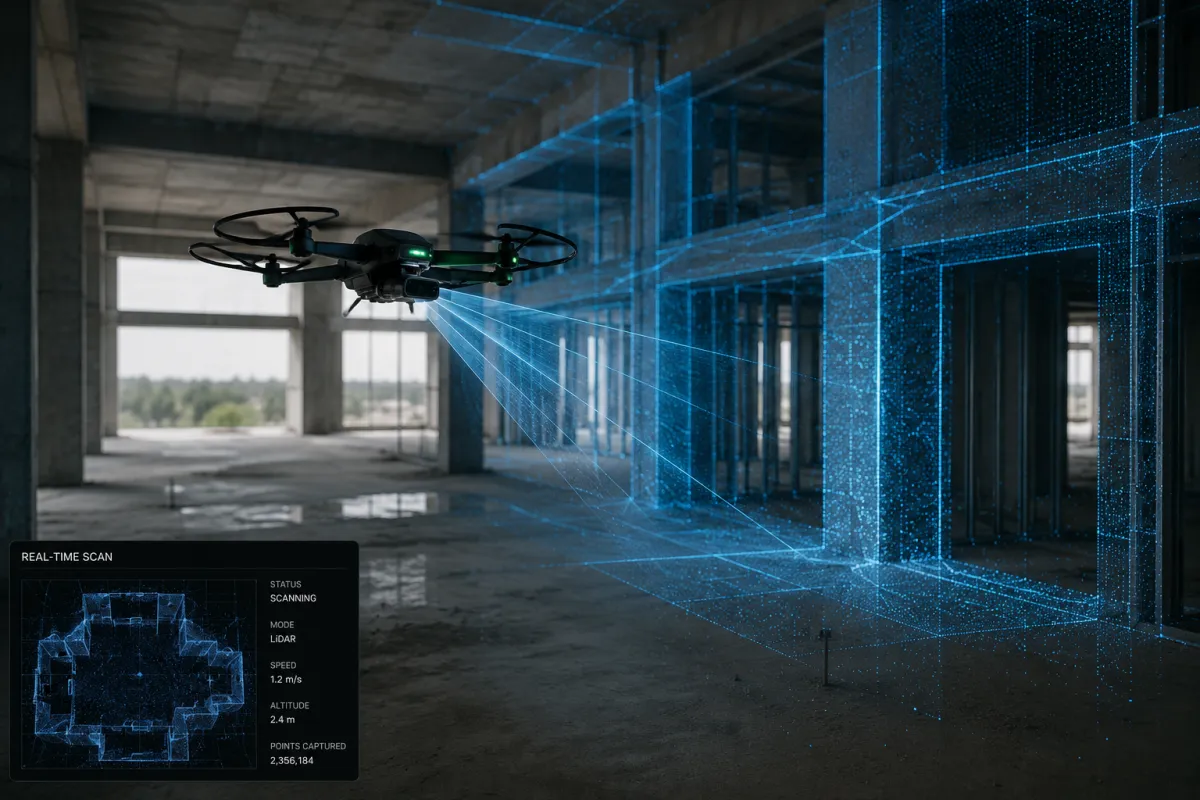
3D Modeling & Digital Twin Creation
Create detailed 3D models and digital representations of properties, construction sites, facilities, and developments for planning, analysis, and asset management.

Property Due Diligence Services
Support investors, lenders, buyers, and property owners with aerial assessments, site condition reviews, drainage evaluations, access analysis, and risk identification.

Construction Lending Oversight
Provide independent aerial verification of construction progress, draw inspections, site conditions, and project status for lenders, investors, and capital providers.
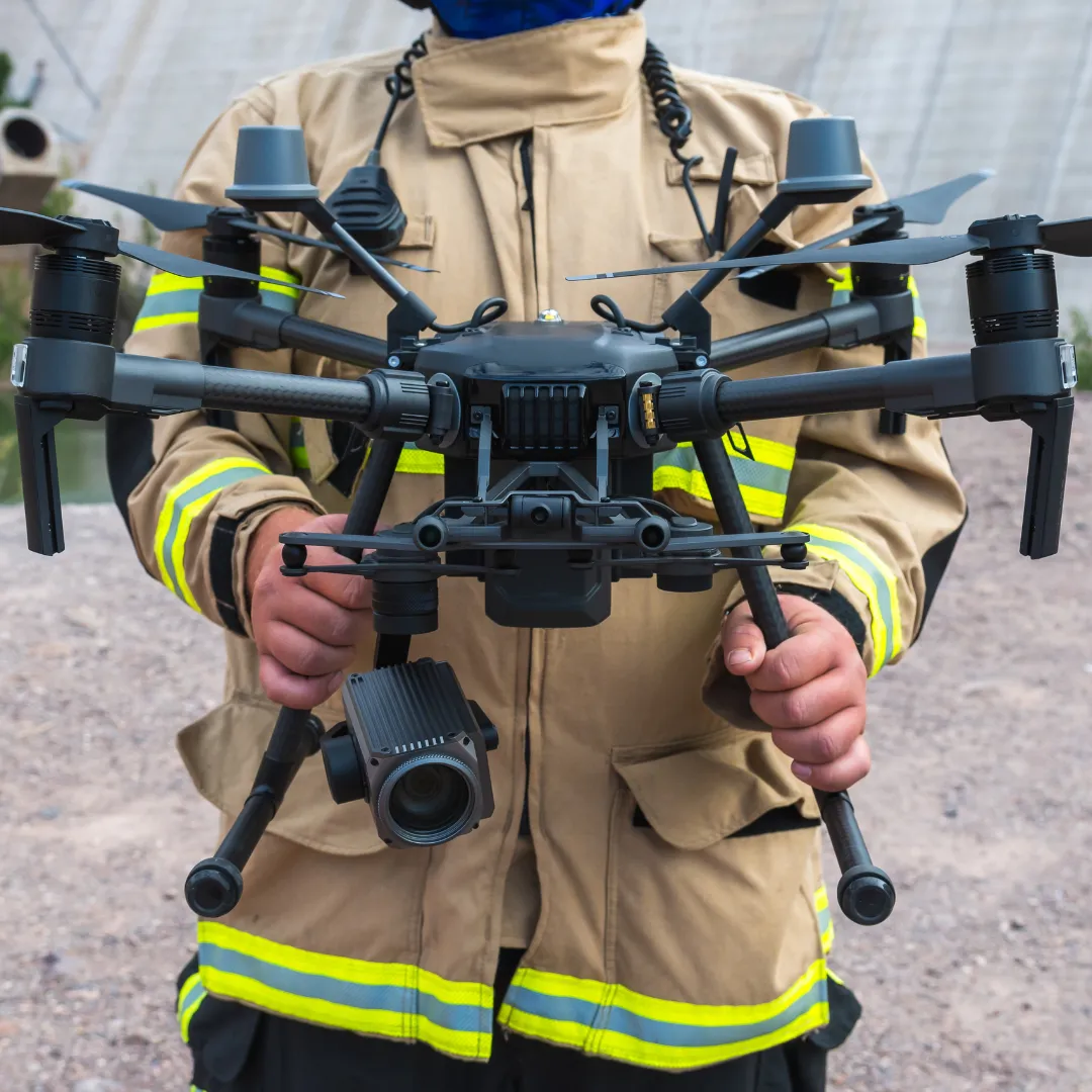
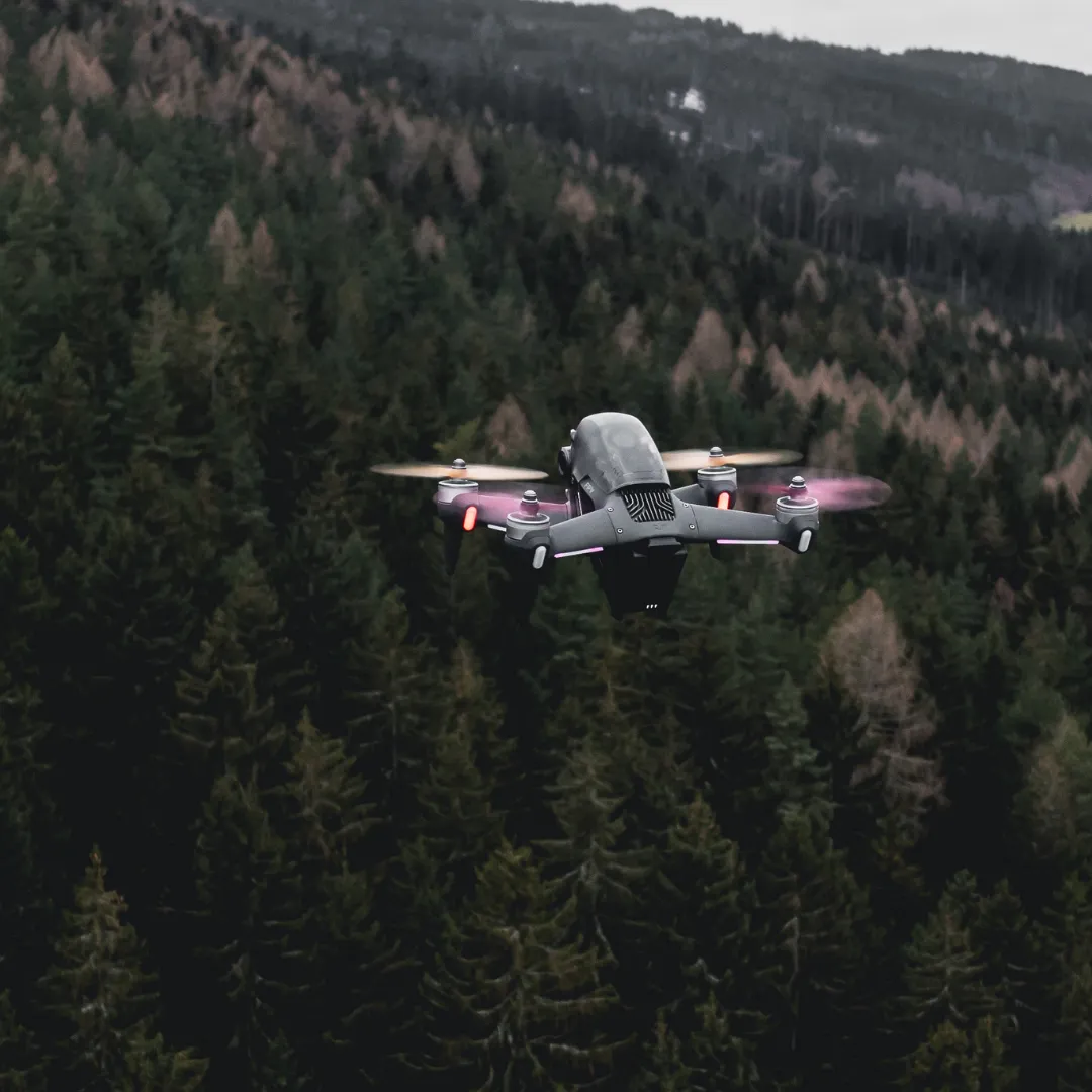
Search & Rescue Support
Assist emergency management agencies, public safety organizations, and response teams with aerial search operations, situational awareness, and mission support.
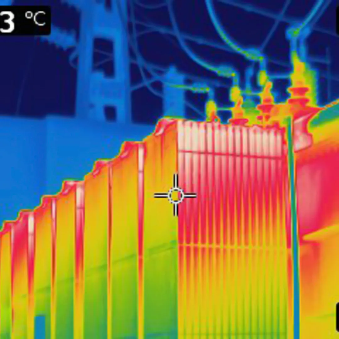
Thermal Imaging Services
Utilize thermal technology to identify heat loss, moisture intrusion, equipment issues, operational anomalies, and search targets in challenging environments.
Asset Documentation & Condition Reporting
Create detailed visual records and condition reports for commercial assets, construction projects, infrastructure, and facilities.
Opportunity Zone & Development Intelligence
Track development activity, infrastructure improvements, growth corridors, and Opportunity Zone trends that may impact investment decisions.
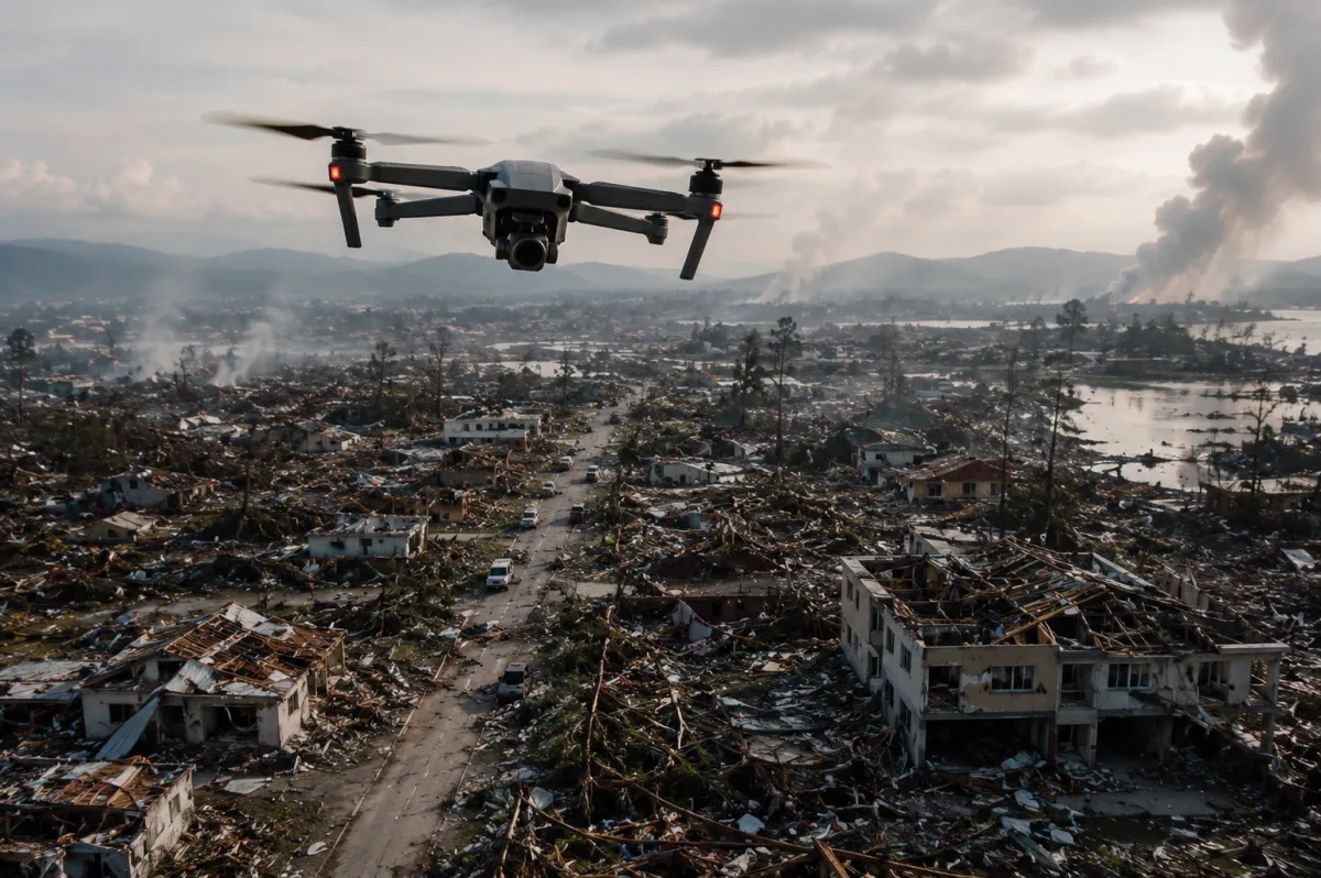
Disaster Assessment & Recovery Support
Provide rapid aerial documentation, damage assessments, insurance support imagery, FEMA documentation assistance, and recovery intelligence following disasters.
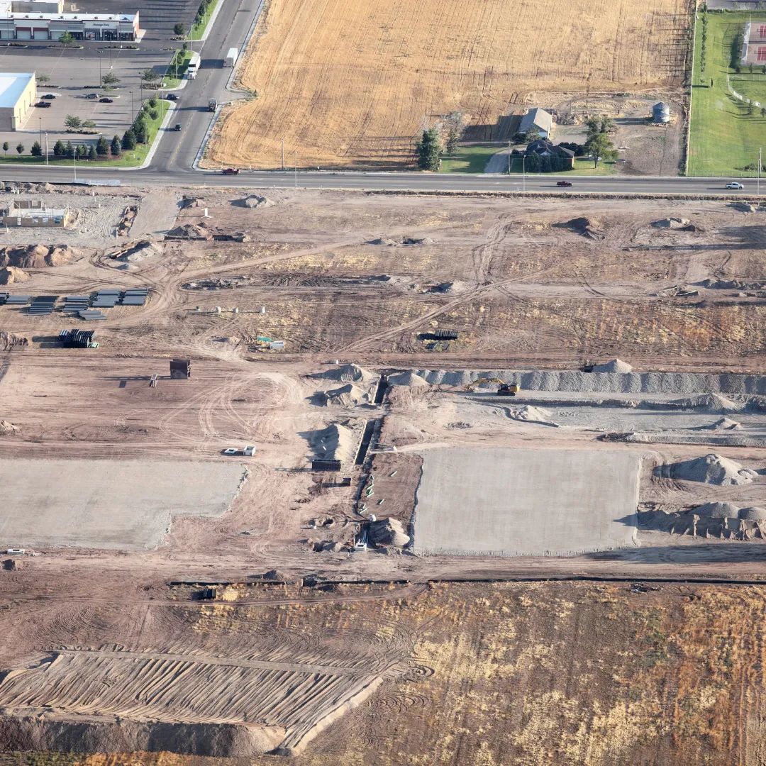
Industrial Site Readiness Assessments
Evaluate industrial and development sites for access, infrastructure, drainage, utility availability, and development constraints to support informed planning and investment decisions.

Customized Aerial Intelligence Solutions
Every project has unique requirements. Tell us what information you need, and we'll create a customized drone-based data collection and reporting solution tailored to your objectives.
How It Works
We provide actionable intelligence that helps clients:
When critical decisions depend on accurate information, Strategic Drone Solutions delivers the perspective you can't get from the ground.
Step 1: Tell Us About Your Project
Complete our short project intake form and share your property, site, security, construction, disaster response, or intelligence needs.
Step 2: We Develop a Mission Plan
Our team reviews your requirements, evaluates the site, and designs a customized drone data collection and intelligence strategy tailored to your objectives.
Step 3: Receive Actionable Intelligence
We collect, analyze, and deliver the aerial data, reports, maps, imagery, and intelligence you need to make informed decisions with confidence.

Ready to get started? Submit your project request today.
Featured Industries
Developers
Realtors
Municipalities
Builders
Property Managers
Emergency Management
Investors
Security Firms
Commercial Lenders & Debt Funds
Search & Rescue Organizations
Landowners & Estate Holdings
Municipalities
READY TO GIVE US A TRY?
Gain the insights you need to make informed decisions with drone-powered aerial intelligence. Whether you're managing a construction project, evaluating a property, assessing disaster damage, or planning a development, Strategic Drone Solutions is here to help.
Complete our project Intelligence Assessment form and schedule your free consultation today. Discover how actionable intelligence from above can support your next project.

About Strategic Drone Solutions
Strategic Drone Solutions provides drone-powered aerial intelligence for commercial real estate, construction, development, inspections, disaster assessment, site monitoring, and search-rescue and disaster support. We help clients see more, verify faster, reduce risk, and make better decisions from above.
Contact Us Now For A Free Consultation
Copyright Strategic Drone Solutions 2025. All rights reserved